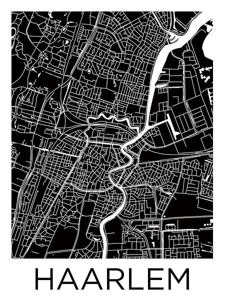
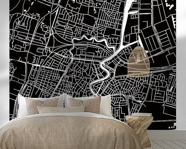
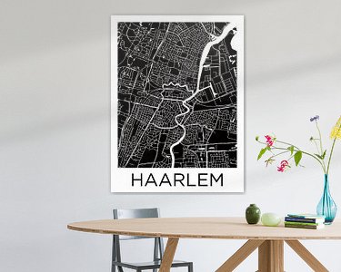


Buy this abstract artwork Haarlem Centre | City Map BlackWhite by WorldMapShop on canvas, ArtFrame, poster and wallpaper, printed on demand in high quality.
About "Haarlem Centre | City Map BlackWhite"
by WorldMapShop
About the artwork
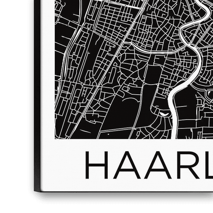
For a close-up of this artwork click on the picture.
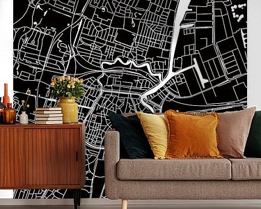
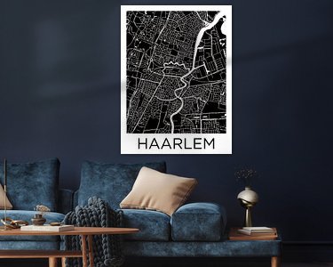
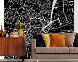
This digital hand illustrated city map of the centre of Haarlem is designed in a modern and minimalistic style.
A beautiful wall decoration or unique gift for lovers of this historic capital of North Holland.
Attention! I do not recommend prints where the short side is smaller than 40cm, because then the smaller streets in the map are less visible and do not stand out well.
This city map shows the following Haarlem districts and surrounding villages:
Waarderpolder, Patrimoniumbuurt, Frans Halsbuurt, Stationsbuurt, Kleverpark, Transvaalbuurt, Zijlwegkwartier, Oud Amsterdamsebuurt, Haarlem Oost, Slachthuisbuurt, Rozenprieel, Den Hout, Europawijk, Leidsevaartbuurt, Koninginnebuurt, Houtvaartkwartier, Ramplaankwartier, Duinwijk, National Park Zuid-Kennmerland, Bomenbuurt, Overdelft, Bloemendaal, Sinnevelt, Indische Buurt Noord en Zuid, Ter Kleef en Te Zaanen and Haarlemmerhoutkwartier.
This city map is an illustration of Ricardo Bouman.
This concept and artwork are Copyrighted.
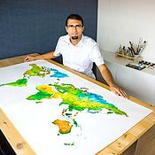
About WorldMapShop
WorldMapsShop is part of a creative design studio producing artistic cartography and paintings. The person behind World MapsShop is Ricardo Bouman, who works as a graphic designer, photographer and painter.
In his design studio, he works with both analogue mediums 'paints and inks' and modern digital mediums 'digital..
Read more…
 Netherlands
 Ordered in June 2022
Netherlands
Ordered in June 2022
Netherlands Ordered in August 2019
 Germany
 Ordered in March 2023
Netherlands
Ordered in March 2021
Netherlands
Ordered in October 2025
Ordered in March 2023
Netherlands
Ordered in March 2021
Netherlands
Ordered in October 2025
 Germany
Ordered in August 2019
Netherlands
Ordered in May 2020
Germany
Ordered in April 2023
Netherlands
Ordered in May 2021
Netherlands
Ordered in May 2024
Germany
Ordered in December 2021
Netherlands
Ordered in August 2020
Germany
Ordered in August 2019
Netherlands
Ordered in May 2020
Germany
Ordered in April 2023
Netherlands
Ordered in May 2021
Netherlands
Ordered in May 2024
Germany
Ordered in December 2021
Netherlands
Ordered in August 2020


