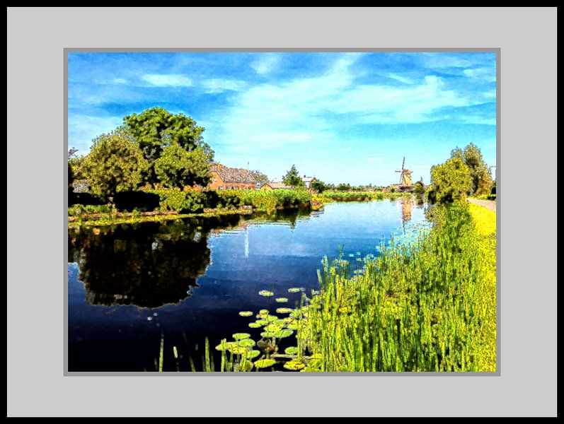


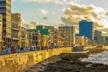
About ‘Dutch Glory’ by René Roos
As the name suggests, the Graafstroom is actually a dug-out canal, in the Dutch municipality of Molenlanden (province of Zuid-Holland), between Vuilendam and Hofwegen with a length of 6 kilometres. In the Middle Ages, the middle of the Alblasserwaard was a high moor area that was difficult to reach and therefore only developed later. In…
Colors
Discover our ArtFrame
The modern canvas alternative
Your chosen art on a textile print, stretched in an aluminum or wooden frame. Quick and easy to change for a fresh look and exactly as you want it.
- High-quality print
- Easily replaceable
- Acoustic function
- Large formats possible

Meet the artist
René Roos
Tolkamer, Netherlands

Ik fotografeer al een aantal jaren, maar na het volgen van een aantal fotografie reizen onder begeleiding van professionele fotograven heb ik mijn fototoestel redelijk onder controle. Mijn stijl wil ik omschrijven als kleurrijk en het meest fotografeer ik natuur, landschappen en op reis.
Visit shop
Discover the artworks of René Roos


Customer reviews
4.8/5

Related collections