


About ‘Greek view Crete’ by Jeroen Somers
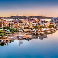
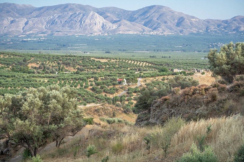
During our tour of the island, I had the opportunity to take this beautiful photo.
The area of Crete is over 8300 square kilometers. Crete is located in the south of the Aegean Sea and forms the border with the Libyan Sea. The island is 260 kilometers long and its width varies from 12 kilometers (near Ierapetra) to 70 kilometers…
Colors
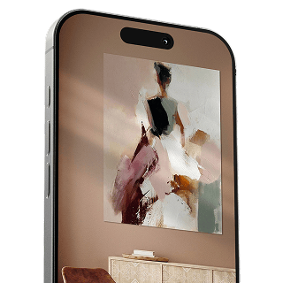
Discover our ArtFrame
The modern canvas alternative
Your chosen art on a textile print, stretched in an aluminum or wooden frame. Quick and easy to change for a fresh look and exactly as you want it.
- High-quality print
- Easily replaceable
- Acoustic function
- Large formats possible

Meet the artist
Jeroen Somers
Haarlem, Netherlands

Van kleins af aan ben ik al bezig met het maken van foto's . Eerst met mijn smartphone een Sony k750i daarna een Canon Ixus 120 en nu met mijn Canon 700d. Zo ben ik in der loop der jaren Mijnzelf steeds verder gaan verdiepen in de fotografie en kritischer naar mezelf gaan kijken om tot een beter resultaat te komen in mijn fotografie. Tegenwoordig trek ik er dan ook met enige regelmaat op uit om natuur, landschappen,steden en/of mensen vast te leggen. Mijn motto is dan…
Visit shop
Discover the artworks of Jeroen Somers


Customer reviews
4.8/5

Related collections