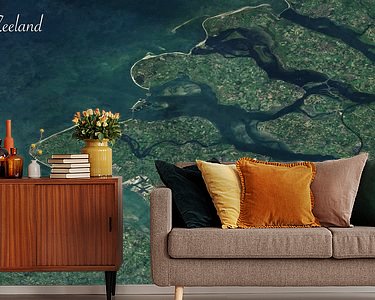


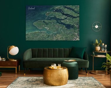

Buy the photo Satellite photo of Zeeland by Maps Are Art on canvas, ArtFrame, poster and wallpaper, printed on demand in high quality.
About "Satellite photo of Zeeland"
by Maps Are Art
About the artwork
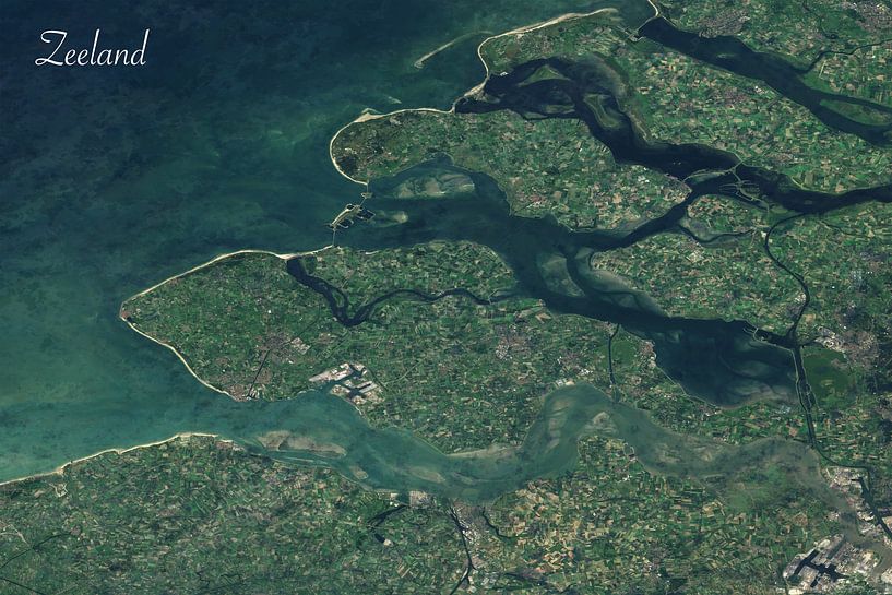
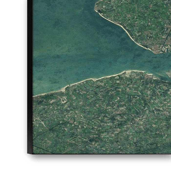
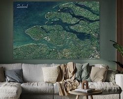
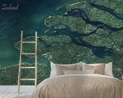
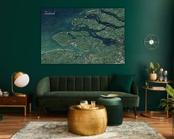
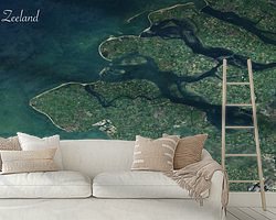
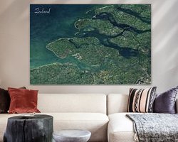
This is a satellite image of the province of Zeeland. It comes from several cloudless satellite images pasted together. Taken by the Sentinal satellite. A European satellite, from the ESA that provides this as open data. The image has been re-projected and modified in photoshop so that it looks even better on the wall.
Zeeland is a province in the south-west of the Netherlands. It consists of a number of islands and peninsulas, including Schouwen-Duiveland, Noord-Beveland, Zuid-Beveland, Tholen and Walcheren, and is surrounded by the North Sea and the Oosterschelde. The province is known for its beautiful coastline, wide sandy beaches, dunes, and many recreational opportunities such as swimming, surfing, sailing and cycling. Such as at Renesse and Zoutelande. Zeeland is also an important agricultural region, especially for potatoes, flower bulbs and vegetables. The capital of Zeeland is Middelburg. Vlissingen and Terneuzen are the largest port cities and they are located on either side of the Westerschelde estuary. After the 1953 flood disaster, the Delta Works were built, which are clearly visible in the satellite photo. Besides Zeeland, part of South Holland is also shown, particularly Goeree-Overflakkee
About Maps Are Art
Mapmaker, geography enthusiast, GIS expert and all-round creative... Read more…
 Aerial photography
 Photo wallpaper
 Photography
 Serene Peace
 Vlissingen
 Zealand
 Netherlands
 Ordered in June 2021
Netherlands
Ordered in June 2021
Netherlands Ordered in August 2024
 Germany
 Ordered in December 2023
Netherlands
Ordered in November 2024
Netherlands
Ordered in August 2021
Netherlands
Ordered in December 2023
Germany
Ordered in November 2020
Germany
Ordered in March 2020
Netherlands
Ordered in January 2023
Germany
Ordered in April 2019
Netherlands
Ordered in September 2025
Netherlands
Ordered in May 2021
Ordered in December 2023
Netherlands
Ordered in November 2024
Netherlands
Ordered in August 2021
Netherlands
Ordered in December 2023
Germany
Ordered in November 2020
Germany
Ordered in March 2020
Netherlands
Ordered in January 2023
Germany
Ordered in April 2019
Netherlands
Ordered in September 2025
Netherlands
Ordered in May 2021
About the material
ArtFrame™
Interchangeable Art Prints
- High-quality print
- Easily interchangeable
- Acoustic function
- Large sizes available


Discover the artworks of Maps Are Art
 Map of Apeldoorn abstractMaps Are Art
 Map of Breda abstractMaps Are Art
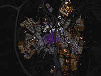 Map of Maastricht abstractMaps Are Art
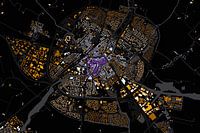 Map of Sneek abstractMaps Are Art
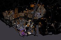 Map of Flushing abstractMaps Are Art
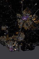 Abstract map Middelburg and VlissingenMaps Are Art
 Nijmegen Art Nouveau MapMaps Are Art
 Maastricht Art Nouveau MapMaps Are Art
 Eindhoven Art Nouveau MapMaps Are Art
 Arnhem Art Nouveau MapMaps Are Art
 Urecht Jugendstil MapMaps Are Art
 Tilburg Jugenstil MapMaps Are Art
 Map of Amsterdam in the style of Gustav KlimtMaps Are Art
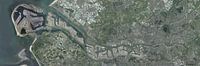 Panoramic aerial photo of Rotterdam EuropoortMaps Are Art
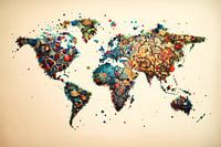 Vibrant world mapMaps Are Art
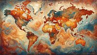 Van Gogh-style world mapMaps Are Art
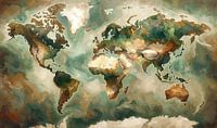 Impressionistic world map mer Wabi Sabi coloursMaps Are Art
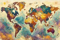 Colourful impressionist world mapMaps Are Art
 Impressionistic world map in light coloursMaps Are Art
 Impressionistic world map with intense colours.Maps Are Art


