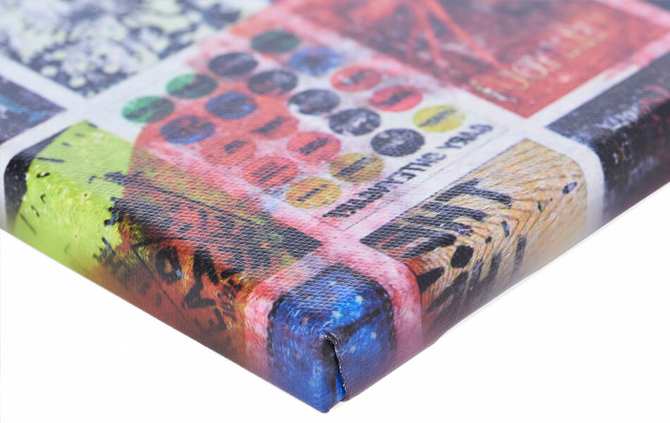
Buy this digital art artwork Triangle Map of the Netherlands - vertical version by Frans Blok - photos, art and other wall decoration as a reproduction on canvas, ArtFrame, poster and wallpaper, printed on demand in high quality.
About "Triangle Map of the Netherlands - vertical version"
by Frans Blok - photos, art and other wall decoration
About the artwork
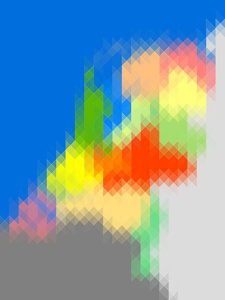
This work is part of a series of adaptations of the provincial map of the Netherlands. This version is composed of triangles with an emphasis on the vertical lines. There are also versions with horizontally oriented triangles, with squares and with parallelograms.
The basis is always a map on which each of the twelve provinces has its own color. Our neighbors Germany and Belgium are light and dark gray and the North Sea is, of course, blue.
I have divided that map into triangles of regular size, with the long sides placed vertically. This creates beautiful transitional tones in the border areas of the provinces, along the North Sea coast and at the national borders. I have slightly accentuated the borders between the areas.
I enjoy discovering how, despite this simplification, many things remain recognizable: the Wadden Sea, the IJsselmeer, the Zeeland islands, Limburg which stubbornly stretches out in the direction of Southern Europe.
As a map to find your way around, this work is completely useless, but as a cheerful wall decoration it is an asset!

About Frans Blok - photos, art and other wall decoration
My work can be found in the border regions of photography, painting and computer visuals. With my company 3Develop I do work in commission but I use the same techniques, skills and software to make free work.
World maps and reliefs made from unique materials, vintage postcards,..
Read more…
 Germany
 Ordered in March 2023
 Netherlands
 Ordered in April 2024
 Germany
 Ordered in February 2022
 Germany
 Ordered in February 2021
 Germany
 Ordered in September 2020
 Germany
 Ordered in April 2025
 Netherlands
 Ordered in July 2024
 Germany
 Ordered in May 2020
 Netherlands
 Ordered in February 2021
 Netherlands
 Ordered in August 2020
 Germany
 Ordered in July 2019
 Germany
 Ordered in July 2021
About the material
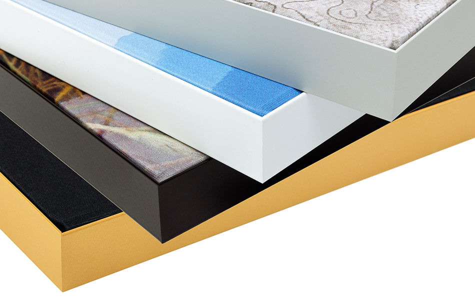
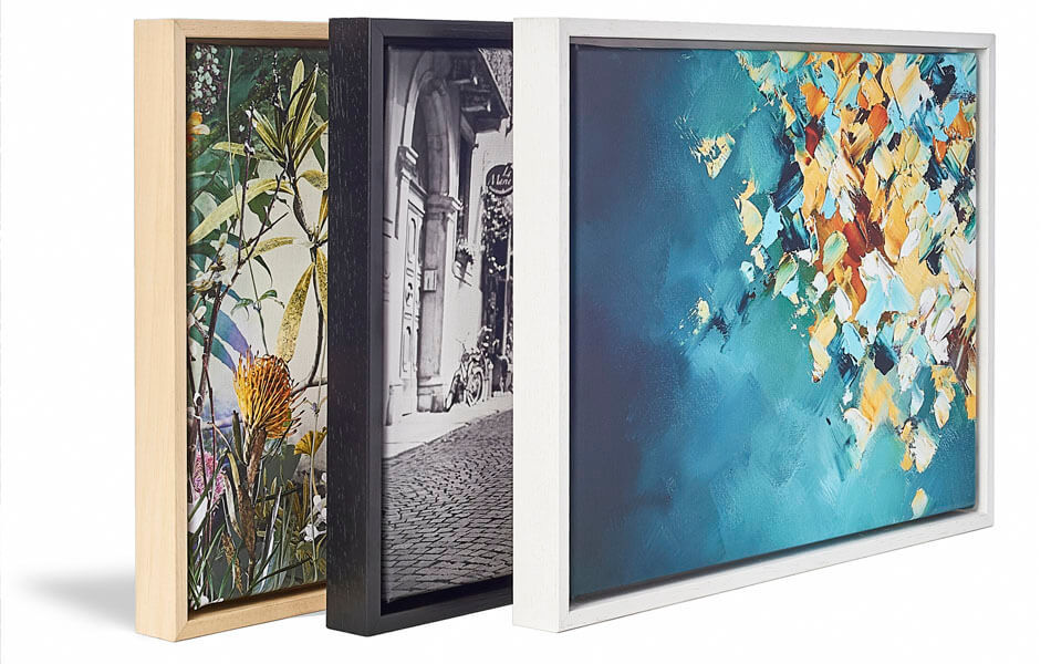
ArtFrame™
Interchangeable Art Prints
- High-quality print
- Easily interchangeable
- Acoustic function
- Large sizes available
Discover the artworks of Frans Blok - photos, art and other wall decoration
 One thousand wind turbine at seas - storm is comingFrans Blok - photos, art and other wall decoration
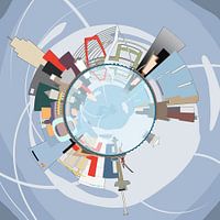 Spherical panorama Rotterdam SkylineFrans Blok - photos, art and other wall decoration
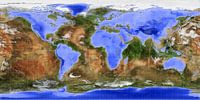 The Inverted WorldFrans Blok - photos, art and other wall decoration
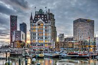 Old Harbour Rotterdam Around SunsetFrans Blok - photos, art and other wall decoration
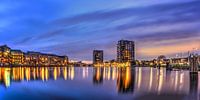 Panorama Coolhaven RotterdamFrans Blok - photos, art and other wall decoration
 Rotterdam: Sunset above the RiverFrans Blok - photos, art and other wall decoration
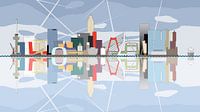 Rotterdam Skyline, reflected in the river Nieuwe MaasFrans Blok - photos, art and other wall decoration
 Panorama Lake District, EngelandFrans Blok - photos, art and other wall decoration
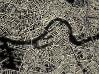 Light Map of RotterdamFrans Blok - photos, art and other wall decoration
 Port of Rotterdam PanoramaFrans Blok - photos, art and other wall decoration
 Rotterdam skyline in greyscaleFrans Blok - photos, art and other wall decoration
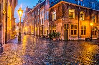 A rainy night in LeidenFrans Blok - photos, art and other wall decoration
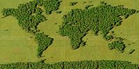 World Map ForestFrans Blok - photos, art and other wall decoration
 World map rust - black versionFrans Blok - photos, art and other wall decoration
 Ship's hull in blue and rust brownFrans Blok - photos, art and other wall decoration
 Lines, spots and symbolsFrans Blok - photos, art and other wall decoration
 Rotterdam skyline in colourFrans Blok - photos, art and other wall decoration
 Purple HazeFrans Blok - photos, art and other wall decoration
 Cats, guitars and beerFrans Blok - photos, art and other wall decoration
 Japandi world mapFrans Blok - photos, art and other wall decoration


 Digital art
 Geometric
 The Netherlands
 Vibrant Colors
 Whimsical Wonders
 World and country maps
