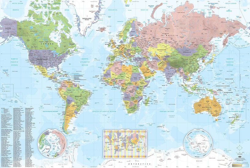

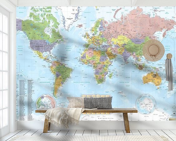
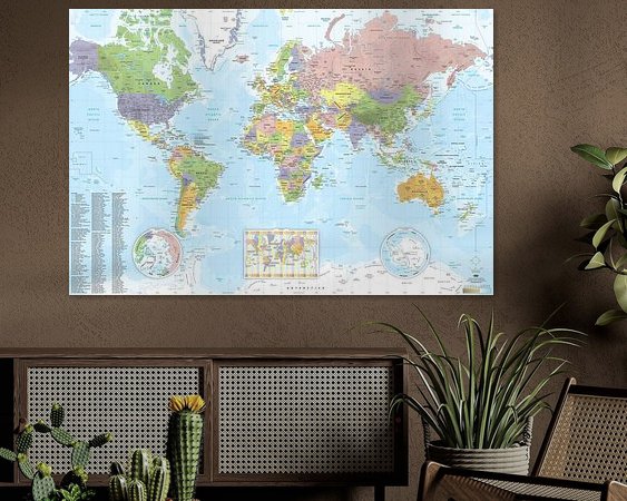
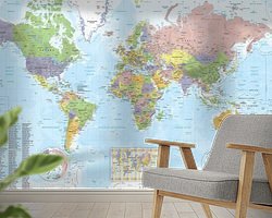
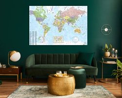

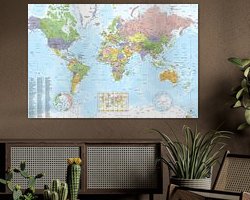
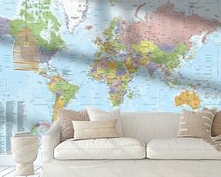
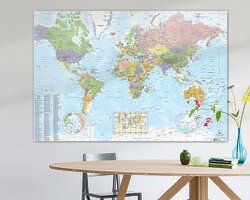

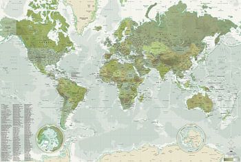
About ‘World Map SCHOOL style (2025 update)’ by MAPOM by Geoatlas
Contemporary World Map with its exclusive "SCHOOL" atmosphere created by Oliv & Oran (aka Mapom), cartographers at Geoatlas.
100% vector graphic design for optimal print quality even in very large format
World Map Contents:
• Captions in english
• Updated: 2025
• Sources : Geoatlas, UN, CIA, French Minister of…
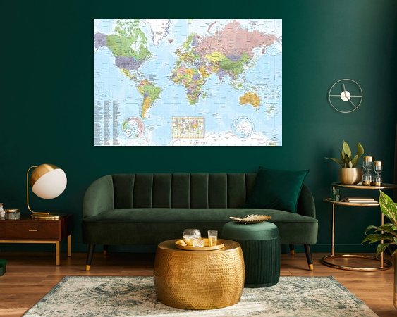
Colors
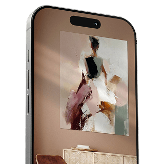
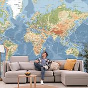
Discover our ArtFrame
The modern canvas alternative
Your chosen art on a textile print, stretched in an aluminum or wooden frame. Quick and easy to change for a fresh look and exactly as you want it.
- High-quality print
- Easily replaceable
- Acoustic function
- Large formats possible

Meet the artist
MAPOM by Geoatlas
Lyon, France
831 / 5 000
The Mapom workshop of Géoatlas is a collective of cartographers based in France. For over 30 years, these design and graphic arts enthusiasts have methodically developed the content of Géoatlas sites, creating the official maps of the Tour de France, the Paris Marathon, the Olympic Games, and more. The Mapom concept: taking the world map out of the back of the classroom, hallways, books, GPS, and more, and proudly displaying it on the most beautiful walls of…
Discover the artworks of MAPOM by Geoatlas


Customer reviews
4.8/5

Related collections