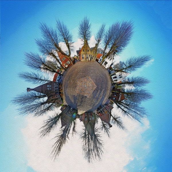


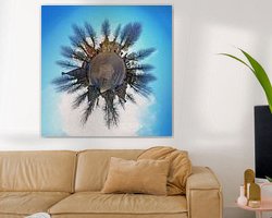

About ‘ Fortified planet Bourtange, the Netherlands’ by Frans Blok - photos, art and other wall decoration
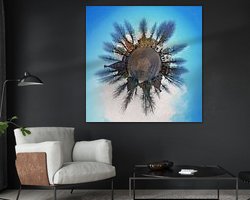
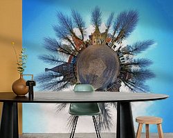
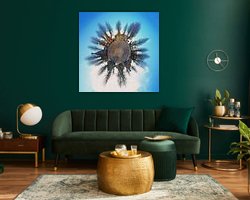
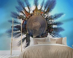
The fortifications of Bourtange, in the Dutch province of Groningen, which reached their largest extension in the mid-eighteenth century, were completely dismantled in the nineteenth century. Only in the seventies and eighties of the twentieth century, the fortifications were carefully reconstructed. Now, a quarter century later,…
Colors
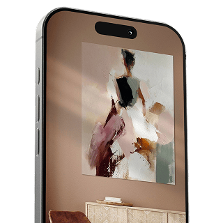
Discover our ArtFrame
The modern canvas alternative
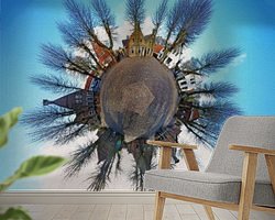
Your chosen art on a textile print, stretched in an aluminum or wooden frame. Quick and easy to change for a fresh look and exactly as you want it.
- High-quality print
- Easily replaceable
- Acoustic function
- Large formats possible

Meet the artist
Frans Blok - photos, art and other wall decoration
Rotterdam, Netherlands
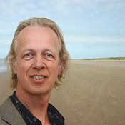
My work can be found in the border regions of photography, painting and computer visuals. With my company 3Develop I do work in commission but I use the same techniques, skills and software to make free work.
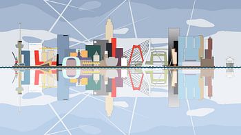
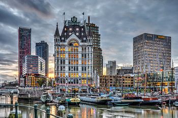
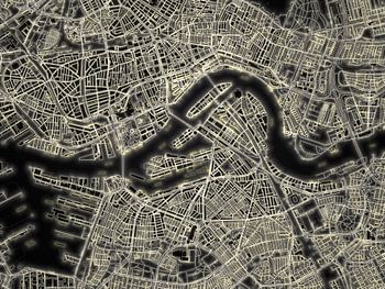
World maps and reliefs made from unique materials, vintage postcards, and futuristic space art, graphic interpretations and painterly edits, artist impressions, and abstract geometric art. But also more "traditional" photography of cities and…
Discover the artworks of Frans Blok - photos, art and other wall decoration


Customer reviews
4.8/5

Related collections