


Buy this modern artwork New Zealand Watercolor Painting by WorldMapShop on canvas, ArtFrame, poster and wallpaper, printed on demand in high quality.
About "New Zealand Watercolor Painting"
by WorldMapShop
About the artwork
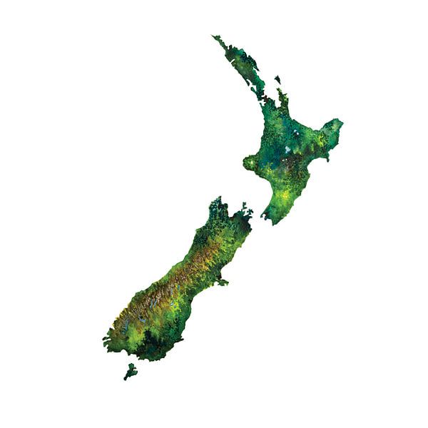
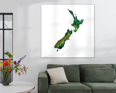
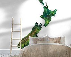
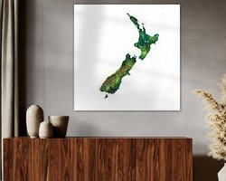
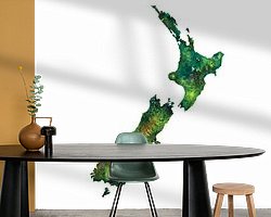
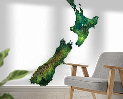
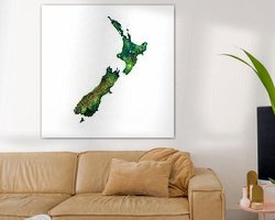
This map painting in watercolour of New Zealand is an ode to this beautiful country in the continent of Oceania.
The artwork is hand-painted using the wet-on-dry technique on watercolour paper. I used a satalite photograph as a reference to realistically colour the nature and landscapes as the country is during summer time.
In late 2012, I got to explore this beautiful country during a 5-week road trip.
These are the locations I visited on the North and South Island.
Coromandel, Rotorua, Taurangi, Tongariro Alpine Crossing, Mount Ruapehu, Mount Ngauruhoe, Wellington. By ferry from Wellington to the South Island via the town of Picton to Blenheim, Nelson, Motueka, Torrent Bay. Then along the Buller River to Charleston, Punakaiki at the famous Pancake Rocks, Greymouth, Hokitika, Haast, Jackson Bay and via the Haast Pass to Lake Hawea, Lake Wanaka, Wanaka, Queenstown, Lake Wakatipu, Te Anau, Lake Te Anau, Milford Sound and via Manapouri to Bluff and the ferry to Oban on Stewart Island. By ferry back to the mainland towards Dunedin, Moeraki, Oamaru, Twizel, Tekapo, Lake Tekapo, Lake Lyndon, Castle Hill, Lake Pearson and along the Waimakarri River to Arthurs Pass and final stop Christchurch.
About WorldMapShop
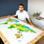
WorldMapsShop is a design studio where artistic cartographic illustrations and paintings are created by graphic designer, photographer and painter Ricardo Bouman.
In his studio and workshop, he works with both analogue mediums 'paints and inks' and modern digital mediums 'vector line drawings, typography and proprietary photographic images'.
His unique..
Read more…
 Expressionism
 Modern
 New Zealand
 Serene Peace
 Vibrant Colors
 Watercolour
 World and country maps
 Germany
 Ordered in February 2022
 Netherlands
 Ordered in December 2022
Netherlands
Ordered in October 2017
Netherlands
Ordered in February 2019
Netherlands
Ordered in December 2021
Netherlands
Ordered in December 2019
Germany
Ordered in January 2021
Netherlands
Ordered in August 2021
Netherlands
Ordered in April 2021
Germany
Ordered in December 2024
Netherlands
Ordered in November 2020
Netherlands
Ordered in November 2022
Ordered in December 2022
Netherlands
Ordered in October 2017
Netherlands
Ordered in February 2019
Netherlands
Ordered in December 2021
Netherlands
Ordered in December 2019
Germany
Ordered in January 2021
Netherlands
Ordered in August 2021
Netherlands
Ordered in April 2021
Germany
Ordered in December 2024
Netherlands
Ordered in November 2020
Netherlands
Ordered in November 2022
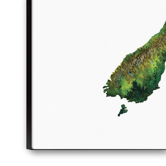
About the material
ArtFrame™
Interchangeable Art Prints
- High-quality print
- Easily interchangeable
- Acoustic function
- Large sizes available


Discover the artworks of WorldMapShop
 Worldmap in colorful watercolorWorldMapShop
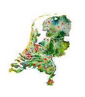 The Netherlands | Watercolour Map | Also beautiful as a wall circleWorldMapShop
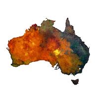 Australia | Map in watercolour | PaintingWorldMapShop
 Typographic World Map | DutchWorldMapShop
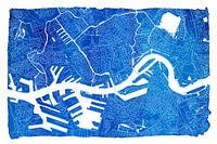 Rotterdam city map | Blue watercolour with a white frameWorldMapShop
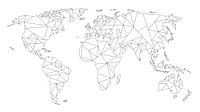 Geometric World Map | Linear drawing | Black on WhiteWorldMapShop
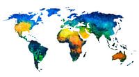
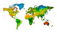 World map in watercolour | Handmade paintingWorldMapShop
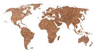 World map of Coffee beans | CollageWorldMapShop
 World map | Line drawingWorldMapShop
 Love for Rotterdam | City map in a heartWorldMapShop
 New Zealand Watercolor PaintingWorldMapShop
 Typographic World Map | EnglishWorldMapShop
 World map of ConcreteWorldMapShop
 Amsterdam | Modern City Map in black and whiteWorldMapShop
 Delft | City Map BlackWhiteWorldMapShop
 Delft | City map in a Delft Blue heart of watercolourWorldMapShop
 World map of Espresso | Quote | Wall circleWorldMapShop
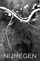 Nijmegen | City map on black watercolourWorldMapShop
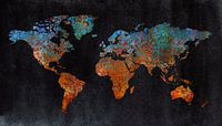 World map of rust | metal and watercolorWorldMapShop
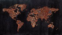 World map | Rust with three structuresWorldMapShop


