


Buy this of Rotterdam Rotterdam | Citymap | Square Gray and Blue by WorldMapShop on canvas, ArtFrame, poster and wallpaper, printed on demand in high quality.
About "Rotterdam | Citymap | Square Gray and Blue"
by WorldMapShop
About the artwork
For a close-up of this artwork, click on the picture.
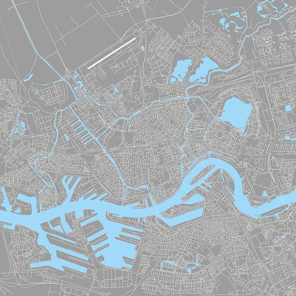
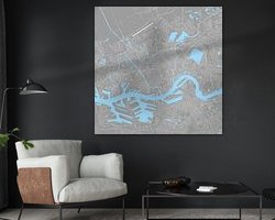
City map of Rotterdam as a modern line drawing.
This map is light grey with white roads and light blue waterways.
Prefer another colour? That is possible!
Please contact the customer service of 'Werk aan de Muur' and tell them that you want the city map with workcode: 238837 in any desired color.
The football stadiums De Kuip from Feijenoord, Het Kasteel from Sparta and the stadium from SBV Excelsior are also on this hand drawn city map.
This city map shows the following Rotterdam districts: Rotterdam Centre, Blijdorp, Agniesbuurt, Provenierswijk, Delfshaven, Spangen, Middelland, Nieuwe Westen, Bospolder, Oud-Mattenesse, Witte Dorp, Spaanse polder, Kleinpolder, Landzicht, Cool, Noordereiland, Struisenburg, Katendrecht, Nieuwe Werk, Afrikaanderbuurt, Kralingen, Crooswijk, Kralingse plas, Rubroek, Schiebroek, Zestienhoven Oude Noorden, Bergpolder, Liskwartier, Overschie, Hillegersberg, Terbregge, Kop van Zuid, Charlois, Pernisserpark, Feijenoord, Zuidplein, Carnisse, Tarwewijk, Bloemhof, Waalhaven, Eemhaven, Wielewaal, Zuiderpark, Zuidwijk, Pendrecht, Hillesluis, Vreewijk and part of Lombardijen.
This city map is an illustration by Ricardo Bouman.
Copyright on this artwork and concept.
About WorldMapShop
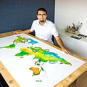
WorldMapsShop is a design studio where artistic cartographic illustrations and paintings are created by graphic designer, photographer and painter Ricardo Bouman.
In his studio and workshop, he works with both analogue mediums 'paints and inks' and modern digital mediums 'vector line drawings, typography and proprietary photographic images'.
His unique..
Read more…
 Bedroom
 Digital art
 Minimalism
 Modern
 New Maas
 Ports of Rotterdam
 Rotterdam
 Rotterdam Center
 Serene Peace
 Towns
Towns World and country maps
 Netherlands
 Ordered in February 2023
 Germany
 Ordered in December 2024
Germany
Ordered in March 2020
Germany
Ordered in October 2019
Netherlands
Ordered in December 2024
Germany
Ordered in March 2020
Germany
Ordered in October 2019
Netherlands Ordered in October 2022
Netherlands
Ordered in May 2025
Germany
Ordered in August 2023
Netherlands
Ordered in November 2021
Germany
Ordered in September 2019
Germany
Ordered in June 2022
Germany
Ordered in August 2025
Netherlands
Ordered in January 2025
Ordered in October 2022
Netherlands
Ordered in May 2025
Germany
Ordered in August 2023
Netherlands
Ordered in November 2021
Germany
Ordered in September 2019
Germany
Ordered in June 2022
Germany
Ordered in August 2025
Netherlands
Ordered in January 2025
About the material
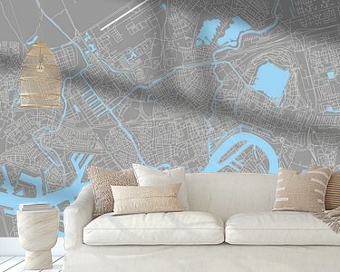
ArtFrame™
Interchangeable Art Prints
- High-quality print
- Easily interchangeable
- Acoustic function
- Large sizes available


Discover the artworks of WorldMapShop
 Worldmap in colorful watercolorWorldMapShop
 The Netherlands | Watercolour Map | Also beautiful as a wall circleWorldMapShop
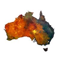 Australia | Map in watercolour | PaintingWorldMapShop
 Typographic World Map | DutchWorldMapShop
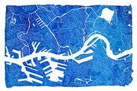 Rotterdam city map | Blue watercolour with a white frameWorldMapShop
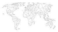 Geometric World Map | Linear drawing | Black on WhiteWorldMapShop
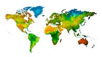 World map in watercolour | Handmade paintingWorldMapShop
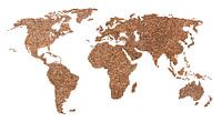 World map of Coffee beans | CollageWorldMapShop
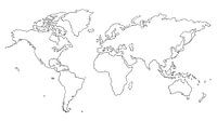 World map | Line drawingWorldMapShop
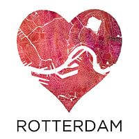 Love for Rotterdam | City map in a heartWorldMapShop
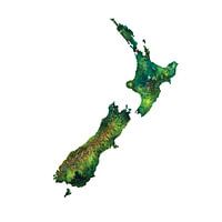 New Zealand Watercolor PaintingWorldMapShop
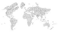 Typographic World Map | EnglishWorldMapShop
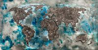 World map of ConcreteWorldMapShop
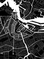 Amsterdam | Modern City Map in black and whiteWorldMapShop
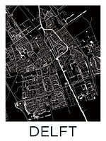 Delft | City Map BlackWhiteWorldMapShop
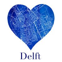 Delft | City map in a Delft Blue heart of watercolourWorldMapShop
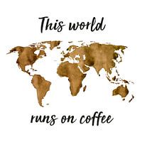 World map of Espresso | Quote | Wall circleWorldMapShop
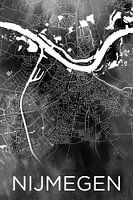 Nijmegen | City map on black watercolourWorldMapShop
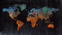 World map of rust | metal and watercolorWorldMapShop
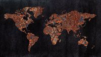 World map | Rust with three structuresWorldMapShop


