


Buy this of Rotterdam Harbourmap of Rotterdam - white and black by Frans Blok - photos, art and other wall decoration on canvas, ArtFrame, poster and wallpaper, printed on demand in high quality.
About "Harbourmap of Rotterdam - white and black"
by Frans Blok - photos, art and other wall decoration
About the artwork
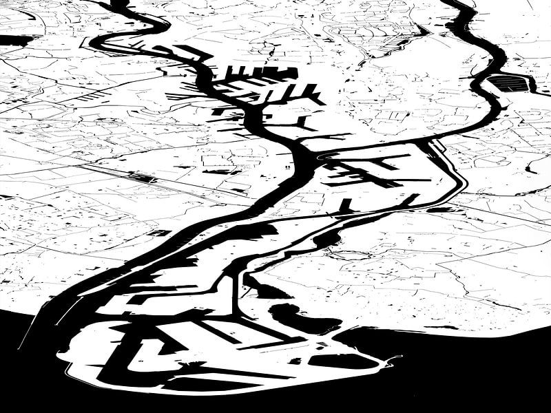
The port of Rotterdam, still the largest of Europe, extends over a length of forty kilometers. On this map we see all the city's harbours, from the old docks near the city center, top left, through the Petroleum Ports, the Botlek and Europoort, up to the first and second Maasvlakte, reclaimed from the North Sea. They're all located next to the river, which is first called Lek , then Nieuwe Maas, then Scheur and finally Nieuwe Waterweg.
We also see countless lakes, canals and other waters in the Rijnmond area:.
This map is made in black and white; there are also other versions.
About Frans Blok - photos, art and other wall decoration
My work can be found in the border regions of photography, painting and computer visuals. With my company 3Develop I do work in commission but I use the same techniques, skills and software to make free work.
World maps and reliefs made from unique materials, vintage postcards,..
Read more…
 Digital art
 Harbours
 Mysterious Spheres
 New Maas
 Ports of Rotterdam
 Rotterdam
 Serene Peace
 Water
Water Germany
 Ordered in September 2019
 Netherlands
 Ordered in October 2020
Germany
Ordered in May 2021
Germany
Ordered in December 2021
Netherlands
Ordered in January 2022
Germany
Ordered in December 2024
Germany
Ordered in February 2024
Germany
Ordered in November 2022
Germany
Ordered in April 2021
Netherlands
Ordered in October 2020
Germany
Ordered in May 2021
Germany
Ordered in December 2021
Netherlands
Ordered in January 2022
Germany
Ordered in December 2024
Germany
Ordered in February 2024
Germany
Ordered in November 2022
Germany
Ordered in April 2021
Netherlands Ordered in February 2023
Germany
Ordered in December 2019
Netherlands
Ordered in June 2020
Ordered in February 2023
Germany
Ordered in December 2019
Netherlands
Ordered in June 2020
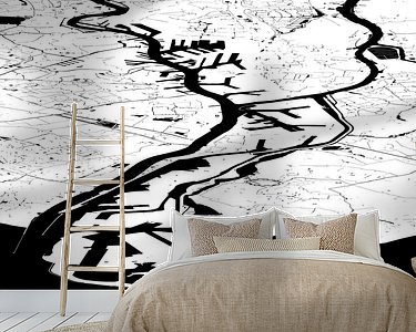
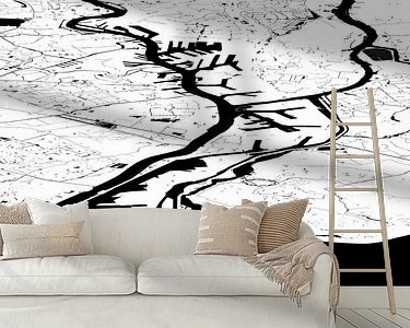
About the material
ArtFrame™
Interchangeable Art Prints
- High-quality print
- Easily interchangeable
- Acoustic function
- Large sizes available


Discover the artworks of Frans Blok - photos, art and other wall decoration
 One thousand wind turbine at seas - storm is comingFrans Blok - photos, art and other wall decoration
 Spherical panorama Rotterdam SkylineFrans Blok - photos, art and other wall decoration
 Veerhaven Rotterdam in WinterFrans Blok - photos, art and other wall decoration
 The Inverted WorldFrans Blok - photos, art and other wall decoration
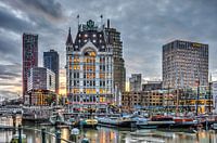 Old Harbour Rotterdam Around SunsetFrans Blok - photos, art and other wall decoration
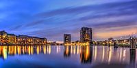 Panorama Coolhaven RotterdamFrans Blok - photos, art and other wall decoration
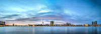 Rotterdam: Sunset above the RiverFrans Blok - photos, art and other wall decoration
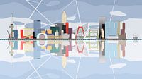 Rotterdam Skyline, reflected in the river Nieuwe MaasFrans Blok - photos, art and other wall decoration
 Panorama Lake District, EngelandFrans Blok - photos, art and other wall decoration
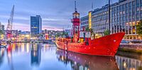 Panorama Wijnhaven RotterdamFrans Blok - photos, art and other wall decoration
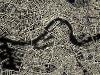 Light Map of RotterdamFrans Blok - photos, art and other wall decoration
 Rotterdam, the city, the river and the portFrans Blok - photos, art and other wall decoration
 Rotterdam Wijnhaven, early morningFrans Blok - photos, art and other wall decoration
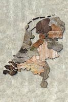 Scrapwood map of the NetherlandsFrans Blok - photos, art and other wall decoration
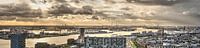 Port of Rotterdam PanoramaFrans Blok - photos, art and other wall decoration
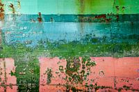 Colorful ship hull with draught marksFrans Blok - photos, art and other wall decoration
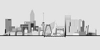 Rotterdam skyline in greyscaleFrans Blok - photos, art and other wall decoration
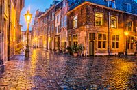 A rainy night in LeidenFrans Blok - photos, art and other wall decoration
 World map rust - black versionFrans Blok - photos, art and other wall decoration
 Japandi world mapFrans Blok - photos, art and other wall decoration


