


About ‘Overseas territory’ by Jan van der Knaap
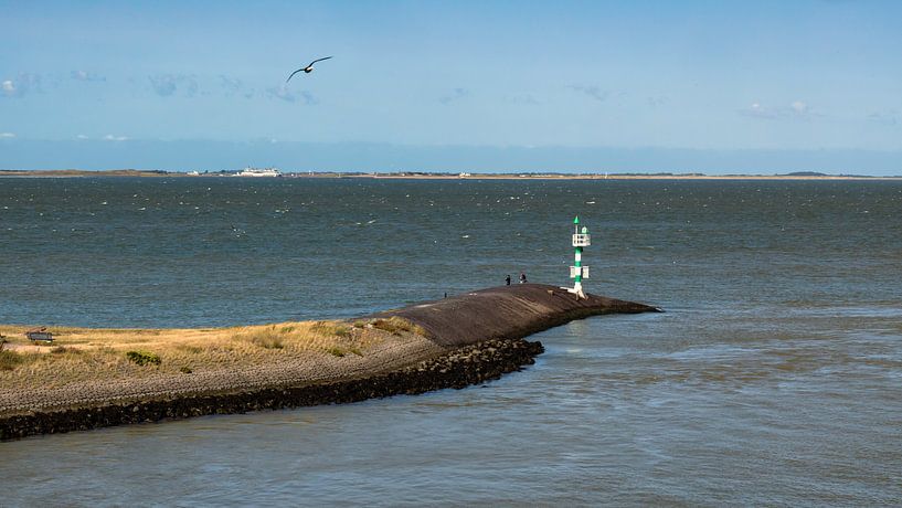
A view of the Wadden Island of Texel, seen from the ferry in Den Helder harbour. Texel really is that close. The ferry takes 20 minutes to make the crossing. On the other side, the other ferry is also ready to leave. I think they leave simultaneously so that the harbour is always free on arrival. They pass each other halfway across. The…
Colors
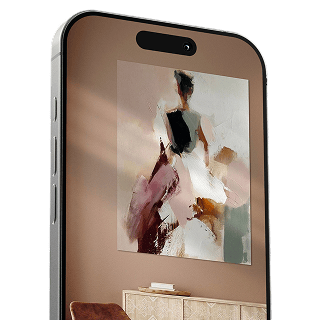
Discover our ArtFrame
The modern canvas alternative
Your chosen art on a textile print, stretched in an aluminum or wooden frame. Quick and easy to change for a fresh look and exactly as you want it.
- High-quality print
- Easily replaceable
- Acoustic function
- Large formats possible

Meet the artist
Jan van der Knaap
Purmerend, Netherlands

Hi there! Nice seeing you here! I'm Jan vd Knaap, a photographer in Utrecht. I normally deal with portrait photography, for humans and animals, and I give workshops to get the most out of the camera. But in the meantime, I fill my account here with photos that I like. That can actually be anything, ranging from seasonal photos to macro photography, or abstract to landscapes and locations. The Netherlands is a beautiful country and beautiful photos can be found…
Visit shop
Discover the artworks of Jan van der Knaap


Customer reviews
4.8/5

Related collections